How is it used?
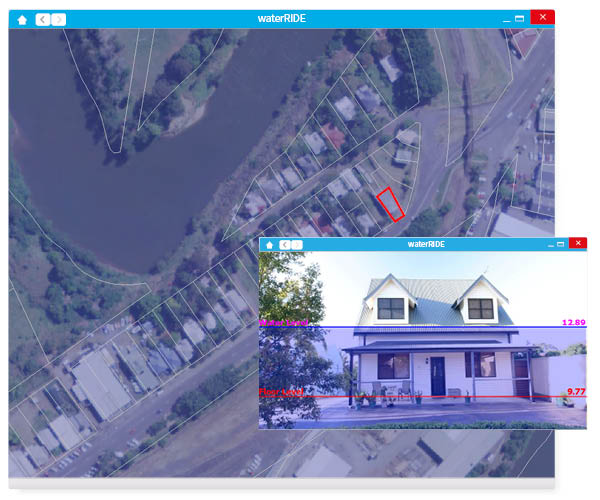
Flood Data + GIS
Integrate flood models with GIS data sets to derive powerful insights.
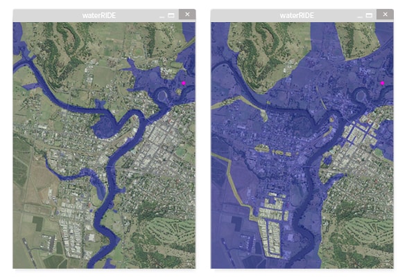
Time-varying analysis
Understand the behavior and impact of flooding by leveraging time-varying results.
Complex, simplified
Readily interrogate flood model data, without needing to be a flood modeler.
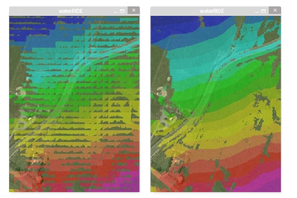
Common interface
Regardless of the model type, use a common interface for your results.


